Live Earth Map - World Map 3D
- 839.00
- 4.2
- Installs
- 10.00M
- Price
- Free

Screenshots
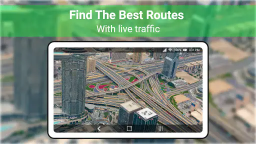
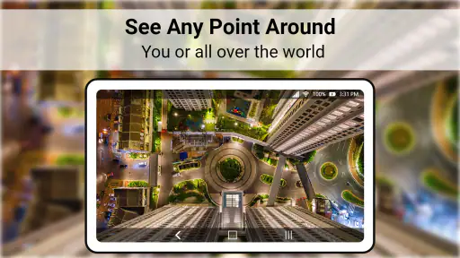
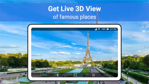
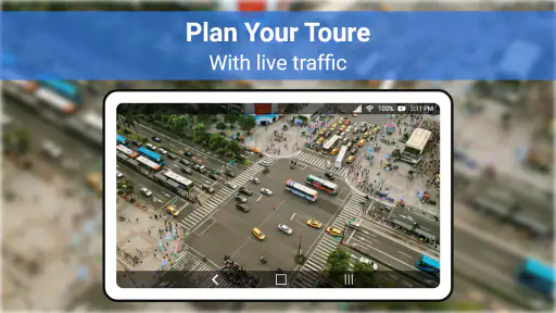
Analysis by Reviewed
When I’m deciding whether to trust a map app, I separate two questions: does it help me understand a place, and is it the right tool for making decisions about where I’m going? Live Earth Map - World Map 3D is aimed at exploring places through map imagery, GPS and satellite views. I’d approach it as a way to look around the world, not as a guaranteed source for every detail I might need on a trip.
What I’d check before sharing a location
Because this app involves maps and GPS, I’d pay attention to the choices shown by my phone when location access is requested. I’d grant only the access that makes sense for what I’m doing, and I wouldn’t assume that viewing a map requires leaving location sharing enabled all the time. Permissions and privacy choices can affect comfort as much as convenience, especially if I’m opening the app simply to browse a landmark rather than locate myself.
I’d also treat map imagery as something to inspect, not as proof that a place is accessible or unchanged. A view can help me understand a coastline, neighborhood layout or the position of a famous site, but it cannot settle practical questions such as whether a path is open today. For those, I’d check a suitable current source before setting off.
How I’d use it without over-relying on it
My useful habit would be to start with a broad satellite view, find the region I’m curious about, then zoom in only when a closer look answers a specific question. That keeps exploration intentional instead of turning into aimless panning. If I’m comparing two possible places to visit, I’d use the map to get a sense of their surroundings, then switch to a dedicated navigation tool for route planning and on-the-ground directions.
That division of labor is the main trade-off: a visually engaging map can make discovery enjoyable, while a navigation-first app is usually the better choice when dependable routing, live road decisions or a clear trip workflow is the priority. I’d choose this one for looking around and learning, not as my only tool for a time-sensitive journey.
Exploring the World in 3D
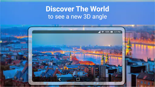
The first thing that hits you when you open the app is how beautifully detailed the maps are. I mean, we're talking about 3D representations of the entire globe that you can zoom into and explore. Whether you're curious about the bustling streets of New York or the serene landscapes of the Swiss Alps, this app has got you covered. It’s like having the whole world at your fingertips!
Features That Stand Out
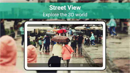
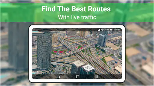
What really sets the app apart from other mapping apps is its range of features. You can switch between different map views, from satellite to terrain, and even street view for that ground-level perspective. The app also updates in real-time, which means you're always getting the latest information. Planning a trip? You can check out traffic updates or even weather conditions in different parts of the world. It's like having a travel guide, weather reporter, and traffic guru all rolled into one!
You May Like

Clash of Clans Is Won Between the Battles

Android Auto Makes the Case for Quieter Car Software

MobiOffice: Transforming Mobile Productivity with Seamless Integration

EA SPORTS FC™ Mobile Soccer: Redefining Mobile Sports Gaming

How Microsoft OneDrive Became a Mobile Productivity Giant

How Google Translate Breaks Language Barriers Effortlessly
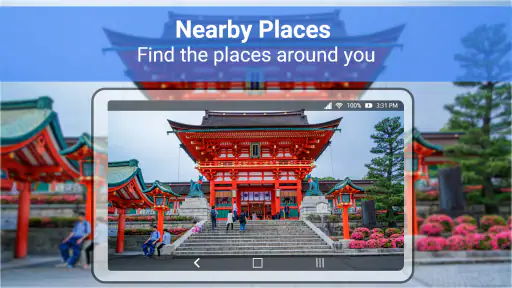
Plus, if you're a bit of a geography nerd like me, you'll love the educational aspect of it. The app provides detailed information about landmarks and cities, making it a great tool for learning more about the world.
From a quick look to a realistic plan
I’d find the app most useful in the small gaps before a trip: while deciding whether a landmark is near a river, seeing how a town sits among hills, or giving a child a visual starting point for a geography question. For example, if a friend mentions a market in a city I’ve never visited, I could explore the surrounding area together on the screen, then use a dedicated route planner later if we decide to go. That makes the app a companion to practical planning, not a substitute for checking opening hours, access or current travel conditions.
There’s also a useful way to avoid mistaking visual detail for practical certainty. I’d compare the broad satellite view with the closer perspective rather than assuming one view tells the whole story. A building can look close to a road from above while entrances, barriers or the walking route remain unclear. For choosing where to explore, that visual context is valuable; for deciding exactly how to arrive, it is only a first clue.
User Experience
Now, let’s talk about usability. The interface is super user-friendly, which is a relief because who wants to waste time figuring out how to navigate an app? The controls are intuitive, so even if you’re not the most tech-savvy person, getting around the app is a breeze.
And the best part? It’s available on both iOS and Android, so no one feels left out of the fun. Whether you’re an iPhone aficionado or an Android enthusiast, you can download the app and start your virtual globe-trotting adventure.
The practical trade-offs behind the view
For an everyday example, I might be waiting for a train and want to show someone what the coastline near our destination looks like. Browsing a satellite or terrain view can make that quick conversation more interesting than passing around a list of place names. If we then need an exact route from the station, I’d switch to a navigation app built around that task. The two tools answer different questions, and keeping that distinction clear prevents a scenic preview from becoming a mistaken travel plan.
Map exploration can also use more attention than a simple search: panning, changing views and zooming are enjoyable when I have a moment, but less useful when I’m in a hurry. I’d browse on a stable connection when possible and avoid relying on a view as a live report of what is happening on the ground. The app’s appeal is the chance to look around; current conditions and access need a separate check when they matter.
A quick workflow for curious browsing
One practical way I’d use the app is to give each map session a small question to answer. I might want to see whether a landmark sits in a dense city center, compare the shape of two bays, or get a broad sense of the terrain around a planned stop. I’d look at the wider area first, then zoom in enough to orient myself, and stop once the view has answered that question. This avoids treating every close-up as useful simply because it is available.
For a shared planning session, I’d use the screen as a conversation aid rather than as a final itinerary. Someone can point out a shoreline or a cluster of streets, and the group can decide what to investigate next. Before committing to a route, I’d confirm the destination’s exact name and check a dedicated source for directions, opening times and local access. That extra handoff is a little less seamless than doing everything in one app, but it reduces the chance of confusing an appealing view with a workable plan.
Choosing it over a conventional map
The usual navigation apps are designed around getting from one place to another: search, route choices and guidance are the main event. This app makes more sense when the destination itself is the subject. Satellite and terrain perspectives can make it easier to grasp the shape and setting of a place than a basic road map, while a road-focused app is generally more useful when I need a direct trip workflow. I wouldn’t judge one as universally better; I’d choose according to whether I’m exploring or travelling.
It is also not the tool I’d pick as my sole resource for a journey where a missed turn or a changing road condition matters. In that situation, I want navigation designed for active travel and information I can verify close to departure. This app can help me form an initial picture, but I’d keep a trusted route planner available for the actual trip. That distinction is especially important if I’m unfamiliar with the area or working to a tight schedule.
Who benefits from the visual approach
I think the strongest fit is someone who enjoys looking at places before visiting them, or who wants a more visual way to talk about geography. It can also be useful for choosing which parts of a destination to research further: a view may reveal that a site is close to water or surrounded by a different kind of landscape than expected. That is a starting point for curiosity, not a substitute for local knowledge.
I’d skip it if my main requirement were offline preparation, highly dependable turn-by-turn guidance or a single source for every travel decision. I’d also be cautious about using any map view to make accessibility assumptions. A route that appears short on screen may still involve stairs, steep ground or an entrance that is not obvious from above. When those details affect someone’s plans, I’d verify them with a source that addresses the specific need.
Why You Should Try It
In a world where travel has become more challenging, this app offers a way to explore and learn about different cultures and places without having to begin with a visit. It’s a good match for curious minds, travel enthusiasts and anyone who enjoys discovering new locations from home. For me, its value is strongest when the goal is visual exploration rather than a promise of complete travel guidance.
There are a few practical details worth weighing before installing. It’s a free Maps & Navigation app from TarrySoft, with optional in-app purchases, so I’d check the purchase prompts and make sure they suit how I expect to use it. Its Everyone age rating makes it broadly approachable, while the 4.2 average from around 71,000 ratings suggests many users have tried it; that number alone cannot tell me whether its particular views suit my needs. It has passed 10 million installs, and version 3.0.0 is listed for devices running Android 5.0 or later. I’d still judge it by a short, low-stakes browse before making it part of a travel routine.
Before paying for anything, I’d take a moment to understand what an in-app purchase prompt is offering and whether I actually need it for my kind of browsing. Optional purchases can change the value calculation for someone who only wants occasional map exploration, so I’d begin with the free experience and decide from what I can see. I’d also review the permission choices on my device rather than granting access automatically. Those are simple checks, but they let me decide how much the app fits my habits and comfort level.
So, if you’ve got an itch for adventure and a thirst for knowledge, give this app a go. It’s more than just a map; it's a gateway to the world!
My cautious recommendation
I’d suggest it to people who enjoy browsing famous places, comparing landscapes or helping someone build a visual sense of geography. It is less compelling for anyone who wants one dependable tool for commuting, offline trip preparation or precise directions. My cautious verdict is that it works best as a window onto places, with a conventional navigation app and current local information close at hand whenever a real journey depends on accuracy.
For a first session, I’d choose a destination I already know and compare what the different views help me notice. That gives me a useful sense of how I prefer to explore before I rely on the app for an unfamiliar place. If the experience is enjoyable, it can become a handy companion for armchair discovery and early-stage trip ideas. If what I really need is a route I can follow without distraction, I’d move to a navigation-first alternative and use this one only when I want the wider visual context.
Live Earth Map - World Map 3D Frequently Asked Questions
Will Live Earth Map - World Map 3D work on my device?
Live Earth Map - World Map 3D requires Android 5.0 or later. Before downloading, check that your device meets this minimum operating-system requirement and has enough available storage for the app. The app is listed for Android, so iPhone and iPad users should check their own platform’s app store for availability rather than assume the Android version will work on iOS.
Does the app need an internet connection or access to my location?
The app’s focus is exploring famous places with live cams, GPS, and satellite view, so an internet connection may be needed to load online content. GPS features can also make location access relevant, especially if you want the app to use your position. Review the permission prompts when installing or opening it, and allow only the access you are comfortable with.
Is Live Earth Map - World Map 3D free to download, and are there in-app purchases?
Live Earth Map - World Map 3D is free to download, so you can try its map and exploration features without paying upfront. It also offers optional in-app purchases, with items ranging from $0.99 to $99.99. Check the purchase details in the app before confirming, especially if someone else, such as a child, uses your device.
Who is Live Earth Map - World Map 3D designed for?
The app is in the Maps & Navigation category and is suitable for a broad audience, with an Everyone age rating. Its focus is on exploring places around the world through live cams, GPS, and satellite views. It may appeal to travelers, curious map users, or anyone who wants to browse famous places, though it should not automatically be treated as a substitute for dedicated navigation tools.
What features does Live Earth Map - World Map 3D offer?
Live Earth Map - World Map 3D provides a comprehensive suite of features for exploring our planet. It includes real-time satellite imagery, 3D terrain views, and detailed street maps. Users can explore landmarks, cities, and natural wonders with high-resolution imagery. Additionally, the app offers navigation tools, weather updates, and the ability to save favorite locations.
Pros
- Real-time earth view enhances exploration.
- Interactive 3D maps for immersive experience.
- Detailed satellite imagery with updates.
- Easy navigation through global locations.
- User-friendly interface for quick access.
Cons
- Requires stable internet connection.
- Drains battery with extended use.
- Limited offline functionalities.
- Ads can interrupt user experience.
- Subscription needed for premium features.

- Category
- Maps & Navigation
- Version
- 3.0.0













