OsmAnd — Maps & GPS Offline
- 3.09K
- 4.5
- Installs
- 10.00M
- Version
- 5.2.13
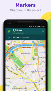
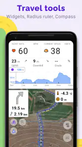
Screenshots


Ever tried wandering through a new city and found yourself completely lost? Well, let me introduce you to OsmAnd — Maps & GPS Offline. This app has been a lifesaver for me during my travels, and I can’t wait to share my experience with you.
Discovering the Power of Offline Navigation
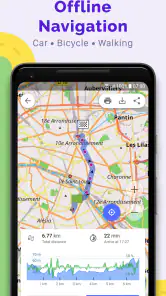
One of the coolest things about OsmAnd — Maps & GPS Offline is that it works without an internet connection. Yep, you heard it right! You can download maps for almost any place in the world and use them offline. This is super handy, especially when you're traveling abroad and want to save on data costs. Plus, the app provides detailed maps with all the info you might need, from hiking trails to public transport routes. It’s like having a personal tour guide in your pocket!
User-Friendly Interface
Now, let’s talk about the interface. Navigating through the app is pretty straightforward. The design is clean, and you won’t find yourself drowning in a sea of unnecessary icons. Everything is where you expect it to be, and that’s a big win in my book. I was able to figure out how to use its features without any hiccups, which is always a plus.
Customization Galore
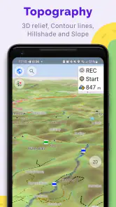
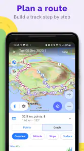
If you're like me and love tweaking things to your liking, you're going to enjoy the customization options in OsmAnd. You can tailor map displays to highlight specific details like bike paths, pedestrian routes, or even ski slopes. This makes it super flexible depending on what you’re up to. Whether you’re biking through the countryside or navigating an urban jungle, you can set it up just the way you want it.
Real-Time Updates and Alerts
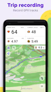
Even though the app is designed for offline use, it doesn’t mean you’re stuck with outdated info. When you do have internet access, OsmAnd updates its maps and other data, so you’re always in the loop. I also appreciate the real-time alerts for things like speed limits and traffic warnings. It’s like having a co-driver who’s always looking out for you.
Conclusion
In a nutshell, if you're looking for a reliable navigation app that won’t leave you stranded without a signal, OsmAnd — Maps & GPS Offline is definitely worth checking out. It’s packed with features, yet easy to use, and the offline capability is a game-changer. So, next time you're planning an adventure, make sure to have this app on your phone. Trust me, you won't regret it!
Pros
- Completely offline maps available.
- Customizable map viewing options.
- Regular updates with new features.
- Accurate routing for various transport.
- Detailed hiking and cycling maps.
Cons
- Complex interface for new users.
- Large app size requires storage.
- Some features need purchase.
- Occasional GPS signal issues.
- Limited real-time traffic data.