All Countries - World Map
- 84.00
- 4.3
- Installs
- 1.00M
- Version
- 2.0.2.6
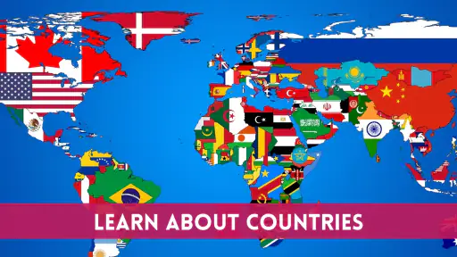
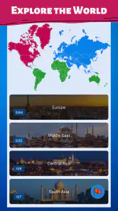
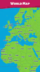
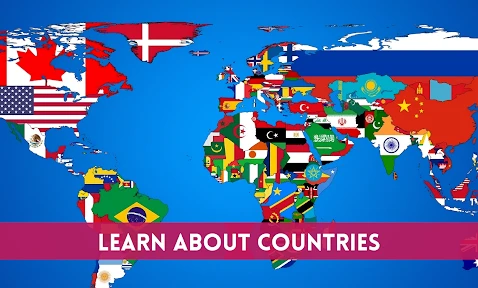
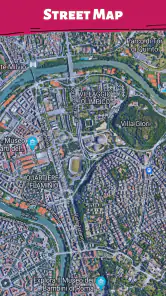
Screenshots


Hey there, fellow globetrotters! If you’re like me and have a penchant for exploring the world, albeit virtually, then you’re in for a treat with the All Countries - World Map app. This little gem is perfect for anyone keen on knowing more about our lovely planet without leaving the comfort of their couch. So, buckle up as we dive into this app and see what it has to offer!
Discover the World at Your Fingertips
First things first, let’s talk about what makes the All Countries - World Map app stand out. This app is essentially a pocket-sized atlas, offering detailed maps of countries across the globe. Whether you’re brushing up on your geography for a quiz night or just satisfying your curiosity about a particular region, this app has got you covered.
Features that Make You Go "Wow!"
One of the coolest features of this app is its interactive map interface. You can zoom in and out with ease, and the level of detail is really impressive. I found myself getting lost (pun intended) in the map, zooming into tiny islands I’d never heard of before. Plus, there’s an option to view political maps, which is super handy for understanding international boundaries and territorial nuances.
Another neat feature is the information snippets about each country. Just tap on a country, and voila! You get a quick rundown of its capital city, population, official language, and more. It’s like having a mini encyclopedia in your pocket. I particularly enjoyed learning quirky facts about different countries, like how Greenland is technically part of the Kingdom of Denmark. Who knew?
User Experience and Design
The app’s design is sleek and intuitive. The developers have done a fantastic job ensuring that even the most technologically-challenged folks can navigate through it without a hitch. The color scheme is pleasant, with each country distinctively marked, making it easy on the eyes. I also appreciated the quick load times and smooth transitions between different sections of the app.
However, one thing I noticed is that it doesn’t have an offline mode. So, if you’re planning to use it on a flight or somewhere without internet, you might want to keep that in mind. But, as long as you’re connected, it works like a charm!
Final Thoughts
In a nutshell, the All Countries - World Map app is a fantastic tool for anyone interested in geography or just looking to expand their knowledge about the world. It’s user-friendly, informative, and quite frankly, a lot of fun to explore. While it could benefit from an offline mode, the wealth of information and interactive features available make it a must-have app for curious minds.
So, go ahead and give it a whirl. Who knows? You might just discover your next travel destination or impress your friends with newfound geographical knowledge. Happy exploring!
Pros
- Comprehensive map coverage
- User-friendly interface design
- Offline access available
- Regular updates with new data
- Supports multiple languages
Cons
- High data consumption
- Limited features in free version
- Occasional slow loading times
- Requires frequent updates
- Not all regions detailed