Earth Map Satellite
- 159.00
- 3.8
- Installs
- 5.00M
- Version
- 1.10.17
Screenshots

Have you ever found yourself wondering what the world looks like from above? Well, you're in luck because I've got the perfect app for you – the Earth Map Satellite. This app is like having a bird's-eye view of our beautiful planet right in your pocket. It's an incredible tool for anyone curious about geography, planning a trip, or just wanting to explore the world from a different perspective.
A Closer Look at Earth Map Satellite
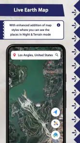
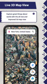
First things first, let's talk about what the Earth Map Satellite offers. The app provides high-resolution satellite imagery of almost every corner of the globe. Whether you want to zoom into the bustling streets of New York City or the serene landscapes of the Swiss Alps, this app has got you covered. The images are so detailed that you can almost feel the texture of the terrain.
Features That Stand Out
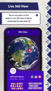
One of the coolest features is the real-time tracking. You can actually see where satellites are positioned over the Earth and what they're capturing at any given moment. This is not just educational but also incredibly fascinating. Imagine being able to track storms as they develop or see how the seasons change across different continents.
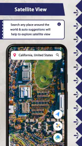
Another handy feature is the ability to bookmark your favorite places. Planning a trip to a new city? Bookmark it and explore the area before you even arrive. It's like having a virtual tour guide, ready to show you around. Plus, the app's user-friendly interface makes navigation a breeze, even for those who aren't tech-savvy.
Why It's Worth the Download
Now, you might be wondering why you should download this app when there are so many map apps out there. Well, the Earth Map Satellite is not just any map app. It's an experience. It allows you to explore parts of the world you might never get to see otherwise. It's perfect for geography enthusiasts, travelers, or anyone with a curious mind.
Moreover, the app is constantly updated with the latest satellite images, ensuring that you have access to the most current views of any location. This is especially helpful in keeping up with changes in landscapes due to natural events or human activities.
Final Thoughts
In conclusion, the Earth Map Satellite is a fantastic app that offers a unique and insightful way to explore our planet. Whether you're using it for educational purposes or just for fun, it provides a comprehensive view of the world that is both informative and captivating. So why not give it a try? You might just find yourself lost in the wonders of Earth from above.
Pros
- High-resolution satellite imagery.
- Easy to navigate interface.
- Frequent updates with new data.
- Offline map availability.
- Detailed terrain information.
Cons
- Consumes a lot of battery.
- Requires large storage space.
- Some areas lack detail.
- Frequent ads in free version.
- Slow loading times on older devices.