HuntStand: GPS Maps & Tools
- 9.59K
- 3.0
- Installs
- 1.00M
- Version
- 8.0.63
Screenshots
Ever been out in the wild and felt like you needed an extra pair of eyes or perhaps a guide to help you navigate through the dense woods? If you’re a hunting enthusiast or someone who just loves exploring the great outdoors, then HuntStand: GPS Maps & Tools might just be the app you’ve been waiting for.
Unpacking the Toolbox
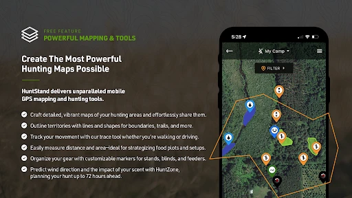
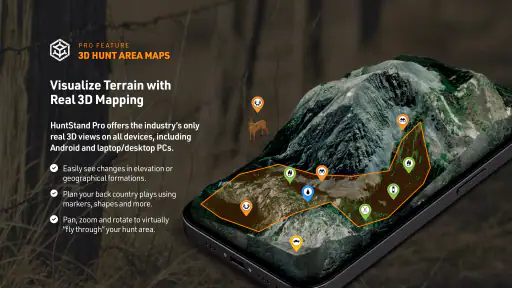
The first time I fired up HuntStand, I was immediately struck by its user-friendly interface. It’s like having a Swiss Army knife dedicated to hunting and outdoor adventures, right in your pocket! The app is jam-packed with features, ranging from detailed GPS maps, weather forecasts, and even property boundary details. The map layers are incredibly detailed, showing everything from topography to satellite imagery. I mean, you can literally see every nook and cranny of the land you’re about to explore.
Mapping Your Journey
One of the standout features is the GPS mapping tool. Whether you're deep in the forest or traversing open plains, this app ensures you’re never lost. The ability to mark waypoints, create trails, and measure distances on the map is a game-changer. It’s like having a digital compass with a touch of magic. You can plan your routes before heading out and adjust them on the fly, which is perfect for those spontaneous detours.
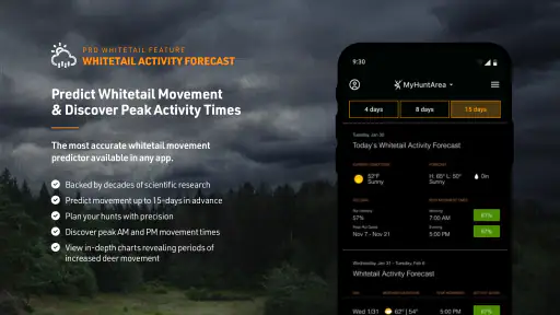
Weather or Not?
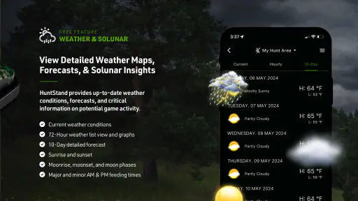
Another highlight for me was the weather integration. Let’s be honest, there’s nothing worse than getting caught in a downpour without rain gear. HuntStand provides accurate weather updates, so you can plan your hunting trips with confidence. It’s like having a weather station on demand, right there in your hand.
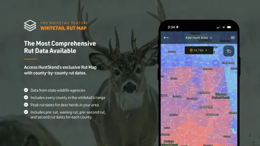
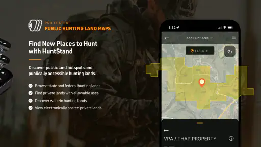
Land and Property Insights
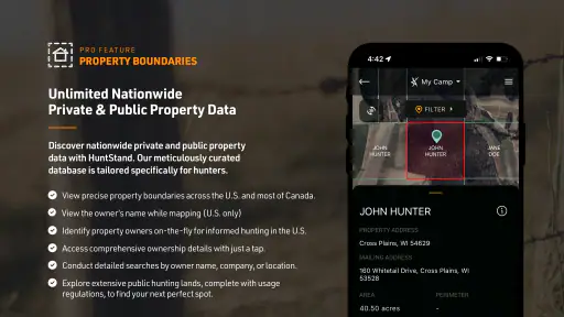
For those of us who need to keep track of land boundaries, the property info feature is a lifesaver. The app allows users to view property lines and even the names of landowners. This is particularly useful if you’re hunting on shared land or looking to avoid trespassing. It’s kind of like having a land surveyor whispering in your ear.
Social Connection
What’s also neat about HuntStand is its social aspect. You can connect with other hunters, share your favorite spots, and even join in on group hunts. It’s a community out there, and this app makes sure you’re a part of it. It’s like Facebook, but for hunters!
In conclusion, HuntStand: GPS Maps & Tools is a must-have for anyone serious about their outdoor pursuits. It’s like having a personal assistant who’s got your back, ensuring you’re well-prepared and informed. Whether you’re a seasoned hunter or a newbie, this app caters to all levels of expertise. So, gear up and let HuntStand guide you on your next adventure. Trust me, once you try it, you’ll wonder how you ever managed without it!
Pros
- Comprehensive map layers for hunting.
- Easy-to-use interface for navigation.
- Offline maps available for remote areas.
- Weather tracking tailored for hunters.
- Syncs data across multiple devices.
Cons
- Some features need premium subscription.
- Battery drain due to GPS usage.
- Limited social features for community.
- Occasional map loading delays.
- Not all regions fully covered.